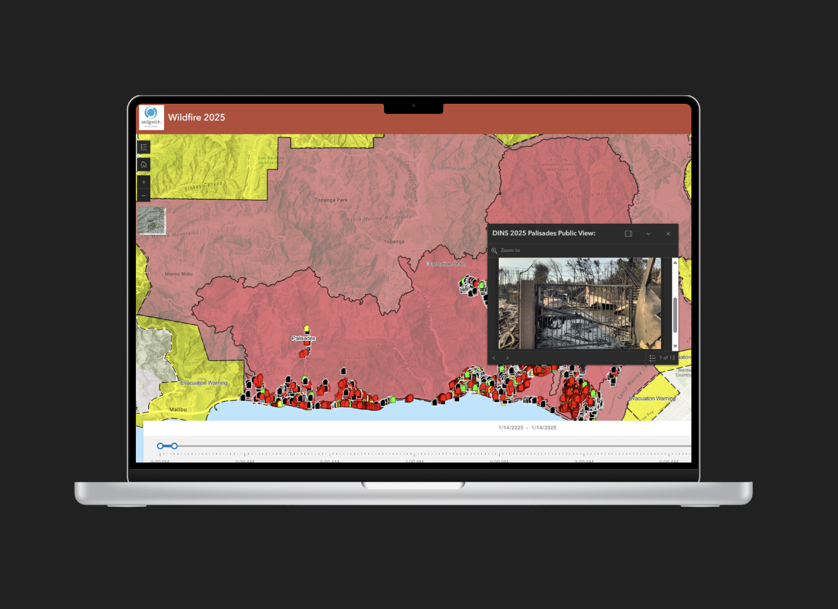
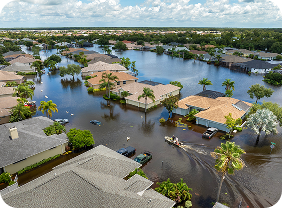
We continue to closely monitor severe weather and flooding impacting parts of the Northern Territory and Queensland. While conditions remain dynamic, our teams are actively assessing impacts, planning deployment and supporting early claim activity where it is safe to do so. The Insurance Council of Australia (ICA) has declared the Northern Territory and Queensland flooding events as significant weather events, reflecting the scale and ongoing nature of impacts across affected regions.
Below a summary of the latest situation.
Northern Territory update
Katherine and Darwin
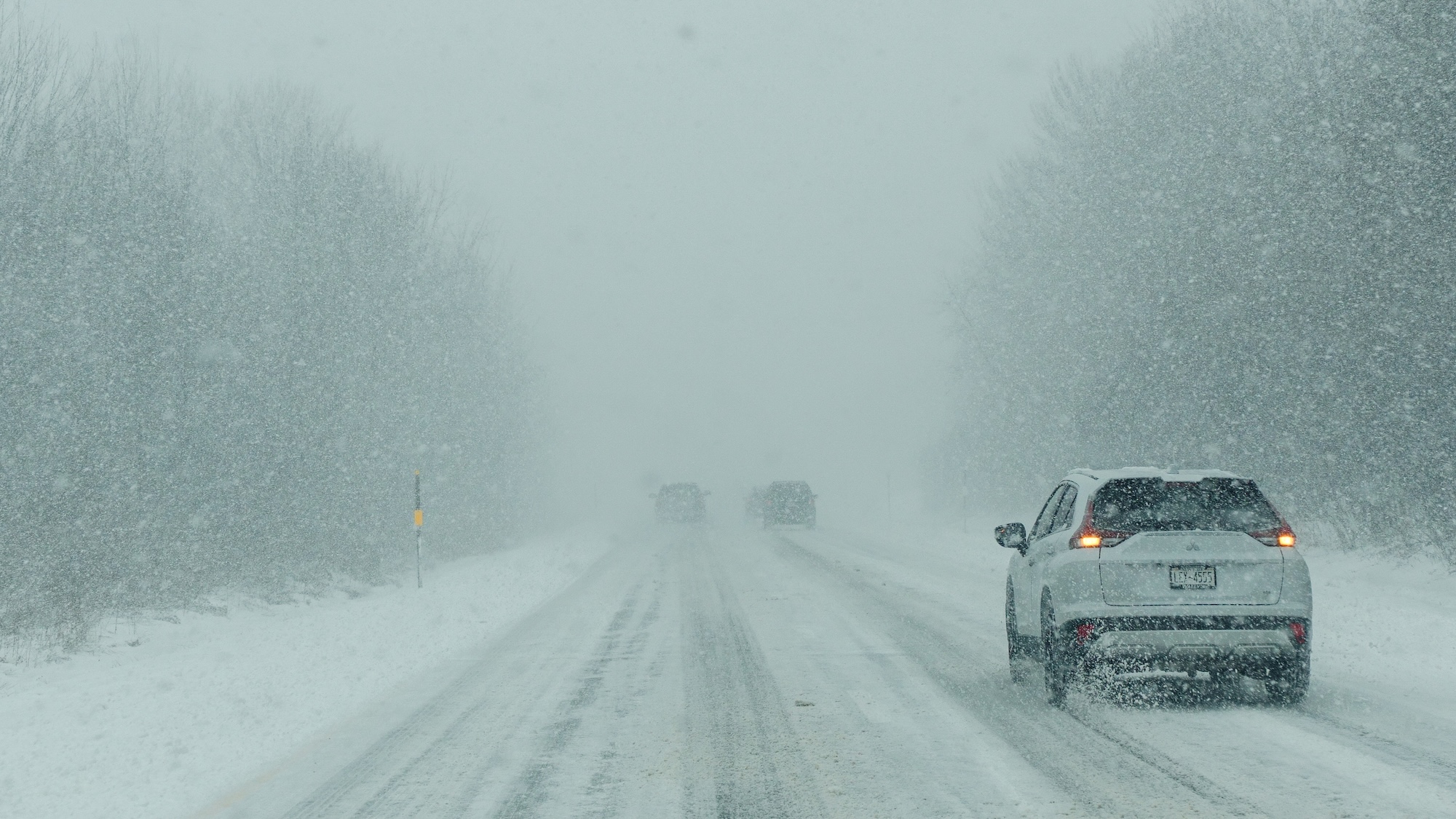
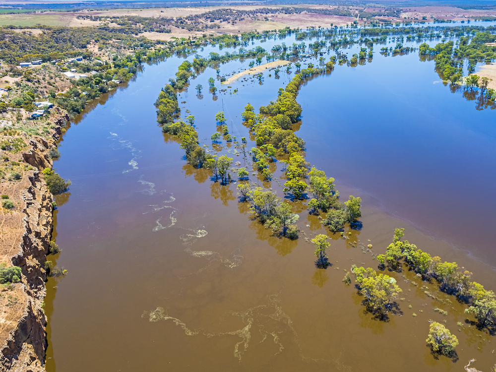
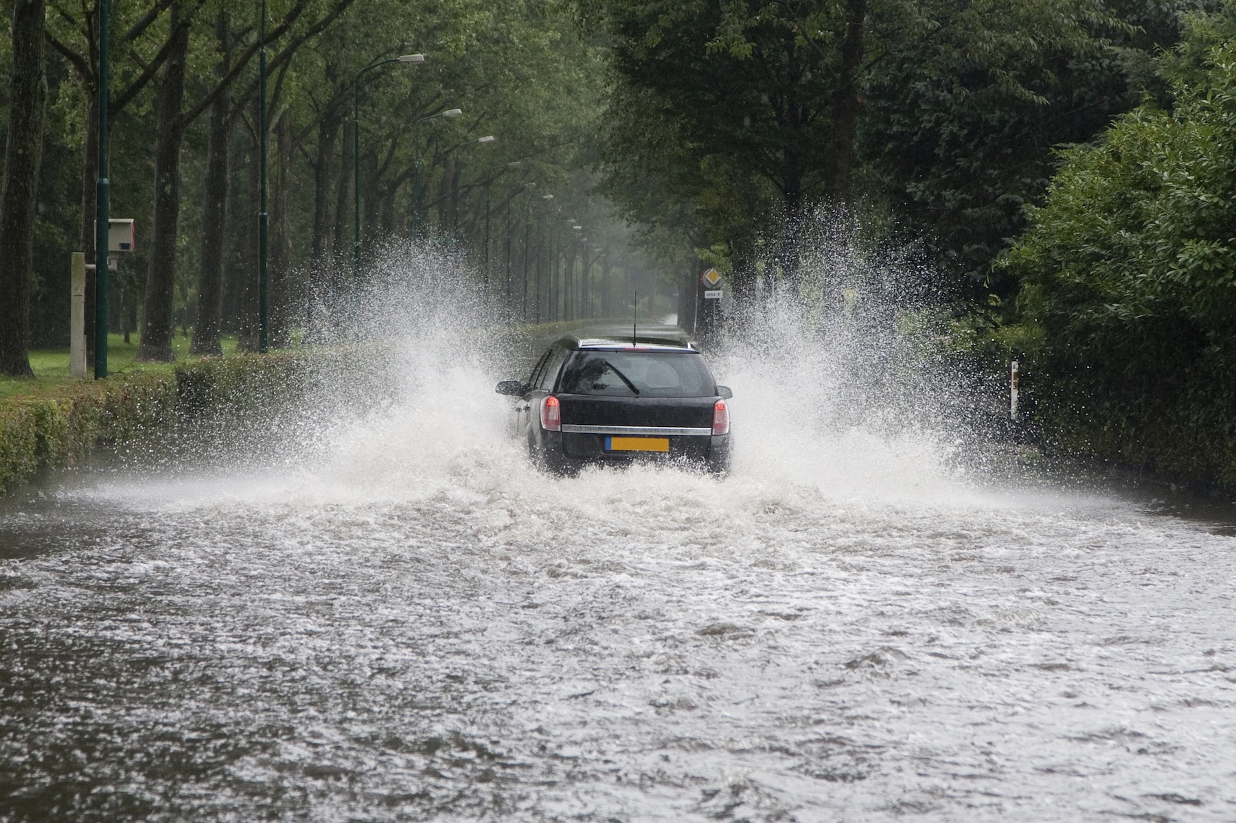
Flooding across the Katherine River catchment remains ongoing. Water levels have risen again to approximately 17 metres, with continued rainfall preventing further recession at this stage. As a result, travel conditions remain unsafe and on‑site deployment of adjusters has been temporarily postponed, with mobilisation to recommence once conditions stabilise and access improves.
Access to affected areas remains unpredictable due to:
- Changing highway conditions
- Conflicting closure advice across official sources
- Safety risks including debris, wandering livestock and flood‑affected roads
The safety of our people, customers and the broader community remains our priority. We are continuing to monitor conditions daily and will deploy as soon as it is safe to do so.
Queensland update
Bundaberg
Conditions in Bundaberg are improving, with floodwaters receding rapidly and access expected to be restored shortly. As access reopens, claims activity has commenced, and we anticipate an increase in volumes over the next 24 hours.
Our response teams are preparing for on‑the‑ground deployment in line with improving conditions, supported by local and regional resources to ensure timely assessments and customer support.
Operational readiness and safety
In parallel with monitoring conditions, we have taken a number of proactive steps to ensure deployment readiness once access is confirmed, including:
- Preparing flood risk scenario mapping to support safe site access and hazard awareness
- Ensuring appropriate communication capability for field teams operating in remote or disrupted environments
- Monitoring fuel availability and logistics in affected regions to minimise strain on local communities and support safe travel planning
We continue to work closely with authorities, insurers and local stakeholders to coordinate response efforts and prioritise urgent needs.
Customers experiencing vulnerability
We recognise that your customers impacted by this event may be experiencing vulnerability or hardship as a result of displacement, service disruptions or personal circumstances. Our teams are trained to identify and support vulnerable customers and will make reasonable adjustments to claims handling and communication where needed, ensuring care, empathy and flexibility throughout the recovery process.
Lodging claims and urgent assistance
Our Customer Service Centre 1800 811 285 remains available 24/7 for urgent registrations and to arrange make-safes. Claims can also be lodged via [email protected].
 Australia
  Canada
  Denmark
  France
  Ireland
  Netherlands
  New Zealand
  Norway
  Spain and Portugal
  United Kingdom
  United States